FEMA’s National Flood insurance Program has been used by many American families for years. Its purpose is to serve protection for areas at risk for flooding, whether that be private homes and businesses, or public structures. The insurance program is structured in a way that is said to reduce socio-economic impacts of disasters such as flooding, or home damage from natural disasters.
Within the last 10 years, the rise of climate change has impacted sea levels, the frequency and intensity of natural disasters, carbon levels, and has put many coastal cities at risk for increased flooding, more than we’ve ever seen before.
With the conditions of the earth changing, should the FEMA Flood Insurance program be revised and changed due to climate change impacts?
Dr. Jeremy Porter, the founder of First Street Foundation, a group that wants to accurately show Americans flood risk, suggests that the flood insurance program might be enabling communities at risk for flooding and believes there is a better way to inform home and business owners of their flood risk.
Dr. Porter’s team and himself at First Street Foundation are working on a flood IQ risk assessment map that is an online interactive service designed to help homeowners and homebuyers understand the risk to a specific property by sea level rise and related flooding.
“We are starting to see an increasing rate of sea levels rising. It took 20 years for the levels to rise 10 inches in the past, now it’s projected to see 10 more inches rise in only 15 years and is speeding up the time frame,” says Dr. Porter.
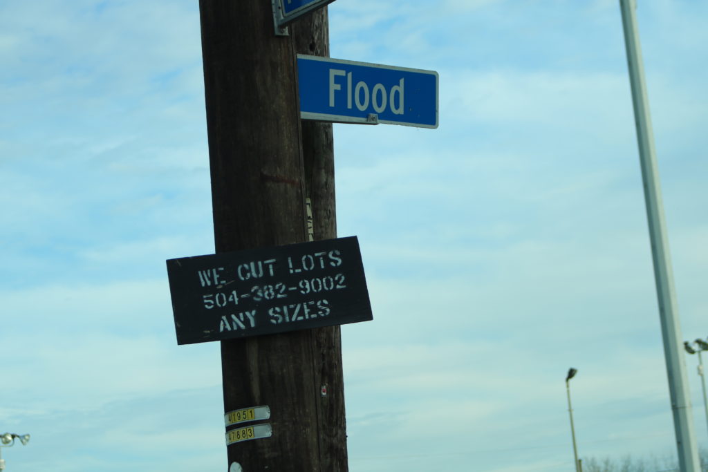
With an increase in rising sea levels, coastal communities like New Orleans in Louisiana, Staten Island in New York, and coastal cities in Florida are being impacted more frequently from flooding.
“We are starting to see an increasing rate of sea levels rising. It took 20 years for the levels to rise 10 inches in the past, now its projected to see 10 more inches rise in only 15 years and is speeding up the time frame.” says Dr. Porter
Shelley Stiaes, a longtime resident of New Orleans, says that the FEMA flood insurance program is a fickle game. She believes that residence in New Orleans, and around the coast, are often being told by the FEMA flood insurance programs that they are not at risk for needing flood insurance, when in fact, their homes are target zones for flooding.
“They (FEMA National Flood Insurance) will X out areas that “won’t flood,” so you don’t have to buy insurance; but then the area will flood,” says Stiaes.
Dr. Porter believes that the problem lies in the fact that FEMA’s national flood program is structured in a way that is subsidizing those who live on the coast. The concern that Dr. Porter is speaking to is about tax breaks for the rich.
A Politico article, “The governments hidden housing subsidy for the rich,” Ike Brannon and Ari Blask says that the main problem with the National Flood Program is that it does not assess risk for individual homes.
This is why Dr. Porter’s team created the flood IQ risk assessment map. First Street Foundations mission is to inform every one of their flood risks, no matter the location. The map also has a feature that shows your flood risk up until 2050, with predicted influences of climate change
In the past 70 years, there has been a significant rise in sea levels that create a higher risk of flooding in coastal cities.
“From the 1950’s, we’ve seen that the gulf coast has risen 18 inches, Louisiana has risen 24 inches, New England has risen 14 inches, Florida has risen 8 inches.”
According to Dr. Porter, the state of Louisiana is spending $25 billion to attempted to improve the damage from flooding due to rising sea levels and damage from natural disasters that impact the area.
In Long Island NYC, the government has used relocation and government buyouts as a way to combat rising sea levels and flooding.
“You see this a lot of NYC and long island from hurricane sandy. It has become a much more common recurrence and in an economic standpoint, it doesn’t make sense to help the communities that are sinking,” says Dr. Porter.
Although most effects of climate change are more noticeable in coastal states, Dr. Porter says that the effects of climate change are starting to take a toll on the Midwest states. This includes heavier precipitation than normal and more flood risks.
Dr. Porter believes that a rise in carbon emissions is also to blame for higher flood risks.
“The concentration of carbon in the air driving up the atmospheric temperature, which is leading to higher sea temperatures and leads to expansion of water causing higher sea levels and flooding.” says Dr. Porter.
There are other effects of climate change such as melting ice structures and sinking land that causes these effects. Louisiana is also prone to sinking land and rising sea levels at the same time, making the effects worse.
So, what can we do to reverse the effects of climate change and potentially avoid a larger flood risk?
Dr. Porter says that the best thing an average American can do to slow the effects of climate change is to stop producing as much carbon as we have been. He also suggests that we can also make small fixes as communities by pumping water back into the land, returning developed land to its original location or relocate it, and create sea walls to help maintain flood levels.
Dr. Jeremy Porter is a Professor and Director of the Quantitative Methods in the Social Sciences Program at the City University of New York, a Research Associate at the Institute for Demographic Research, and was recently appointed as faculty, working as a Lecturer at Colmbia University’s Environmental Health Sciences program.