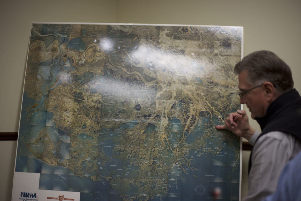
Eastern Terrebonne Parish is disappearing, but the entirety of Terrebonne Parish besides Isle de Jean Charles is protected by the Morganza to the Gulf levee system. The land areas south of the Morganza levee system act as a buffer zone for floodwater pushed inland from the Gulf.
Across the Louisiana coastline, Director of the Terrebonne Parish Office of Coastal Restoration and Redevelopment Mart Black estimates $1.5 billion has been spent to restore the coastline and protect the 20 coastal parishes since 1990. However, Black also notes only nine of those 20 parishes actually touch the coast.

Every waterway that leads inland within the protection zone of the Morganza levee system has a floodgate on it. These floodgates allow marine traffic and waterways to flow naturally when the area is not threatened by floodwaters or hurricanes.
When there is a threat of flooding or hurricanes, the gates and locks close to keep water from the Gulf of Mexico and coastal bayous from flooding the waterways that fan out across Terrebonne Parish like veins and capillaries spread out across the human body, bringing life wherever they touch.
Black and his staff plan on installing more lock and floodgate systems along the waterways in Terrebonne Parish to make sure the area is fully secure in addition to the Morganza system, upgrading outdated or less adequate systems along the way.
Black talked about Hurricane Ike to demonstrate the effectiveness of the Morganza system. Terrebonne Parish had roughly 11,000 structures flood before the Morganza system was installed. Hurricane Barry caused only two structures in the entire Parish to flood.
The Morganza levee walls that cost millions of dollars, paid for primarily by Terrebonne Parish, according to Black, are 12 feet tall right now. Black said his office wants to raise the height of the levees to 18 feet in the near future to keep up with rising sea levels and offer the community he serves more protection from flooding.
However, Biloxi-Chitimacha-Choctaw Chief Albert Naquin has had trouble in the past with getting an accurate assessment of hurricane and flood damages in Terrebonne Parish.

Naquin remembers hurricane Isaac. At a community meeting in Houma, the community group announced they had no homes that flooded in Terrebonne Parish.
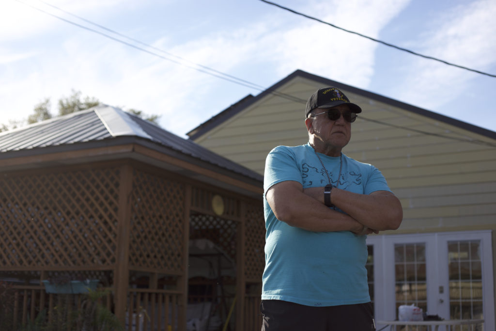
Upon hearing this, Naquin raised his hand and asked if the island was part of Terrebonne Parish. He said the island had six homes that flooded. He said the Houma chief doesn’t visit the island and doesn’t know what happens there, so he can’t answer.
Whether the local government is ignoring the hardships faced by the American Indians who have called the area home for centuries or not, Black says the overall flood and hurricane protection situation is improving.
One island off the coast of Terrebonne Parish, Raccoon Island, was fully restored with yards of coastline brought back to the island where thousands of Brown Pelicans, the state bird of Louisiana, nest and breed every year. This island is part of a chain of barrier islands that help protect inland Terrebonne from storm surge and is located well over 10 miles from the nearest inhabited town.
The only inhabitants of Raccoon Island are wildlife. It also serves as a popular sports fishing spot for keen anglers.
“I kind of joke with the others in the area that we should call the island some kind of bird or animal island,” said Point-Aux-Chene Indian Donald Dardar when talking about Isle de Jean Charles and Raccoon Island. “I got nothing against birds, but we’re people too.”

Black concedes that with enough time, resources and funding, Isle de Jean Charles could be restored, but the geological and hydrogeological environment of southern Terrebonne Parish combined with decisions made decades ago that changed the fundamentals of the climate make that task difficult to say the least.
In 2016, the U.S. Department of Housing and Urban Development awarded a $48.3 million grant to the Louisiana Office of Community Development for a relocation project to relocate the Isle de Jean Charles community. The four-part plan is currently on the third phase after executive director of the office announced their nearly $12 million purchase of 515-acres of former sugarcane cropland 40 miles away from the island next door to a Chevron Preservation and Maintenance facility in March of 2018.
Development and construction, the third phase of the plan, was supposed to begin in March of 2019.
Chief of the Biloxi-Chitimacha-Choctaw Indians, who have lived on the island for nearly two centuries and were the first people to settle the area, on Isle de Jean Charles has not communicated with Forbes or the Office of Community Development since January of 2019, 13 months prior to talking to UWM students for this article.
The Terrebonne Parish Office of Coastal Restoration and Preservation has never been contacted to begin a restoration project on the island, according to Black.

Multiple students reached out to Forbes for comment through phone calls to his office, notes left with his office and emails directly to Forbes as well as his knowledge about the relocation project, but he only responded to one email.
In the 1920s, Black said a flood control program blocked off Terrebone Parish’s source of sediment with a system of levees. That has contributed to subsidence and loss of marshland.
Baton Rouge was threatened by floods, and New Orleans was threatened by major flooding again during that time, and the federal government wanted to protect the city.
Flood stage is considered to be 16 feet, which is the level of the natural levees along the river where walls have been placed on top to further protect against flooding. In the 1930s, Congress decided to divert up to 30% of the Mississippi river flow into the Atchafalaya to further reduce flood risks to New Orleans and Baton Rouge with the Old River Control Structure.
The extra water flowing through the Atchafalaya effectively increases flood risks for the Terrebonne Parish area because the increased water pressure flowing through the river bleeds into the Terrebonne Parish waterways.

The diversion project also eliminated a crucial source of sediment-laden water for eastern Terrebonne Parish, which is necessary to replenish the fine, silty soil that makes up much of the land in the area and gets swept away during floods and hurricanes so easily.
Some of the sediment Black wishes to use to rebuild the coastline of Terrebonne can be found in the marshlands of Western Terrebonne parish, but most of the sediment Black wants to use will be sourced from west of Terrebonne Parish near Morgan City.
Black said the nearby Atchafalaya river could be a great source of sediment for Terrebonne Parish. There could be approximately 80 million cubic yards of sediment which could be piped into Terrebonne Parish to help replenish some of the lost land and rebuild the coastline. They could restore a lot of their lower western marshes and then eventually add more sediment to the east.
Right now, the sediment flowing from the exit of the mighty Atchafalaya is forming land masses people can go out and walk on which weren’t there a few years prior. New coastline is being created at the exit of this river every minute.
There are three primary funding sources for coastal restoration available to Black. The oldest source, the Coastal Wetlands Planning Restoration Act, was introduced in 1990.
In order to receive funding from CWPPRA, Black and other coastal restoration office leaders of nearby parishes have to propose restoration project ideas at annual meetings where he gets to vote on project proposals along with representatives of federal agencies involved in CWPPRA and the other coastal restoration office leaders.
Getting projects funded by CWPPRA allows Black and the other coastal restoration office leaders in Terrebonne basin to complete smaller marshland restoration projects, which he says are part of the key to both restoring the coastline and lowering flood risks. Black’s CWIPRA approved projects receive money from federal agencies like NRCS, EPA and the Army Corps of Engineers which is matched by the state of Louisiana.
Once a project is approved by the technical committee, Black said the engineering and design phase of projects takes roughly three years to complete.
CWPPRA generates about $50 million per year for Louisiana coastal restoration projects like the marsh creation projects. A typical marsh creation project including maintenance and operation over a 20-year period comes to about $25 million to $30 million.
The RESTORE Act, created to help fix the environmental impact caused by the BP Deepwater Horizon oil spill, offers little effective funding for Black’s office. The funds from this act are not enough to fund maintenance and operational costs for any of one of most of his office’s projects, according to Black.
Black said he would build a long-distance sediment pipeline from the Morgan City area to Terrebonne Parish coastline if he could wish for only one project to make the most significant impact on coastal restoration. This new sediment introduced to the coastline would help directly rebuild the land lost to rising sea levels and erosion.
However, the picture Black paints of the difficulties to even start a restoration project is not lined with fine-smelling roses and pleasantries. He must work together with anyone willing to keep the coastline of Louisiana from slipping away into the Gulf that makes Louisiana the marine powerhouse it is today.